Technology
Technology at the service of humanity
Lendel Media Solutions does it all. We go beyond data acquisition. We stand out for transforming data
into usable information adapted to your needs. We carefully consider the options offered by our own
technology and algorithm design to optimize data quality, and then transform pixels and dots into meaningful
analysis based on the questions our customers want to answer.
WE ACQUIRE> ANALYZE> WE GIVE ANSWERS
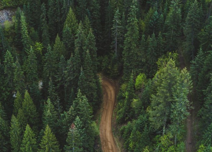
We invest and deploy the latest and most advanced sensor, platform and satellite technologies to acquire
geospatial data. And our acquisition team, without exception, is the most prepared to provide solutions to our
clients and, together with them, improve the world in which we live.
Our technology

LenClimat
By means of variables obtained from the Internet, the project generates permanent information from agroclimatic maps in real time in order to obtain a wide variety of maps of climatic variables such as rainfall, temperature levels in different seasons of the year, evapotranspiration, frost, solar radiation, climatic changes ...

LendMine Sensor
System that locates antipersonnel mines by means of an intelligent drone equipped with a detection sensor based on advanced spectrometric techniques. The system allows to mine the mines by creating a GIS program with an effectiveness of 99%, which allows the safe removal of the same and guarantees the safety of the professionals involved and the populations.

LenRed
LendRed software offers turnkey solutions for the maintenance, control and planning of electrical networks with the Lidar system. We maximize the efficiency of workflows, avoiding duplication and saving investment. Digital data acquired with the LIDAR is archived and used to form the basis of an editable and permanently searchable database, making engineering work easier.
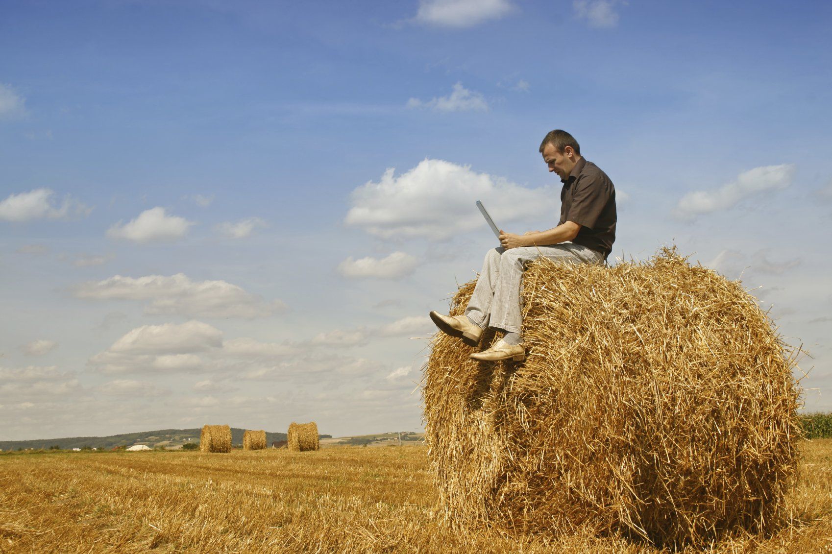
AgroLen Data
Large-scale operational program for monitoring agricultural assets through hyperspectral management system for small, medium and large farms.